Athens Marathon course: km by km
The Athens Marathon covers 42.195 km from the town of Marathon to the Panathenaic Stadium, and its hardest point is the 30th-31st km, at the Stavros interchange — also the course's highest elevation, roughly 247 m, as computed from the organiser's own official GPX route file. Below is a kilometre-by-kilometre breakdown of the terrain — what's flat, where it climbs, where it descends — sourced solely to the official route description and the official route file, with no registration, transport or race-programme content.
What this guide covers
This guide looks only at the terrain and elevation of the Athens Marathon course — 42.195 km from the town of Marathon to the Panathenaic Stadium — kilometre by kilometre, sourced solely to the organiser's official route description (athensauthenticmarathon.gr, "Course Map & Route" section) and the official GPX file the same page distributes.
It does not cover registration, transport to the start, spectator spots or November weather — that is covered by bib2bib's "Athens Marathon: a visitor and spectator guide" Athens Marathon: a visitor and spectator guide. It also does not repeat the race-weekend programme — start times for the 5K, 10K and Marathon — already covered in "Athens Marathon 2026: dates and races" Athens Marathon 2026: dates and races. For the history of the first Marathon-to-Athens run in 1896, see the Spyridon Louis profile Spyridon Louis: the first Olympic marathon (1896).
The start: Marathon to the Tomb of the Fallen (0-6.2 km)
The start is in the town of Marathon. Per the official route description, "the first 200 meters are downhill" leading out of the start area, and the first 4 kilometres are overall slightly downhill, along Marathonos Avenue.
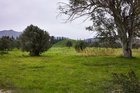
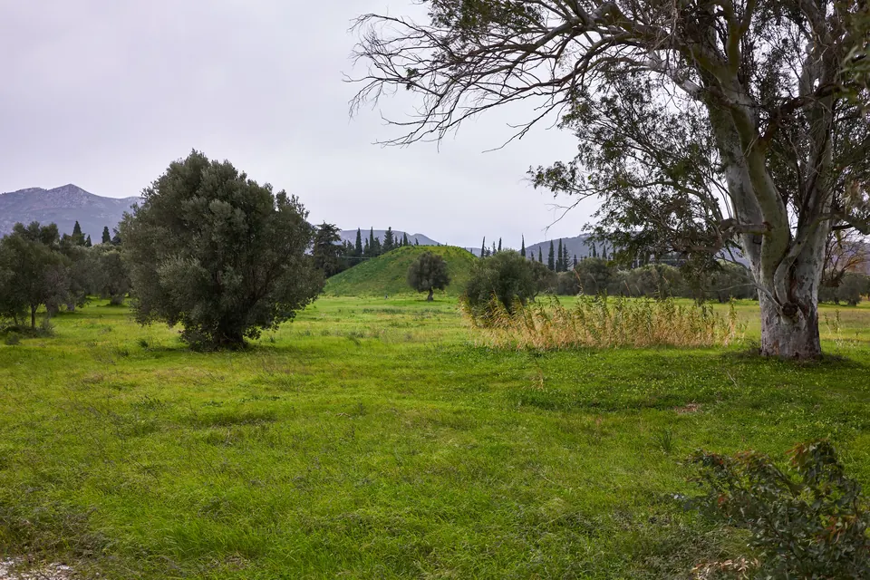
At the 4th km, runners turn onto Marathonomachon Street and enter the area of the Tomb for the next 2.2 km, i.e. to the 6.2nd km. There, per the official site, the route follows "an almost circular course" around the Memorial of the Fallen (Tomb) in the Battle of Marathon.
The flattest stretch: Nea Makri (6th-10th km)
From the 6th to the 10th km, through Nea Makri, the official description calls the route simply "flat" — with no mention of any climb or descent. It is the only stretch of the entire course described this way, with no qualification.
Our own computation from the official GPX file also places the course's lowest point here, around 8 m, near the 8th km — consistent with the organiser's own "flat" label.
The first climbs: to the Rafina junction and the 20th km (11th-20th km)
From the 11th to the 17th km the course gains an uphill slope in parts. A steeply sloping downhill section follows, until just before the Rafina junction. From there the course turns uphill, with its most intense section reaching to the 20th km.
In the official GPX data, elevation climbs from roughly 28 m at the 11th km to roughly 71 m at the 20th km — a first, clear taste of the climbing that will dominate most of the remaining course.
Pikermi and Pallini: the climb through the 25th km (20th-28th km)
Passing through Pikermi, less and more steeply uphill sections alternate until the 25th km — the most notable being, per the official description, "the prolonged uphill section of the 25th km." The stretch through Pallini, at the 27th-28th km, is also uphill.
Our computation shows elevation climbing almost without interruption through this stretch, from roughly 107 m at the 22nd km to roughly 208 m at the 28th km — no meaningful downhill break anywhere in between.
The Stavros junction: the hardest part of the course (28th-31st km)
From the Gerakas area begins, in the organiser's own words, "the last and most difficult part of the route": the Stavros interchange, at the 30th-31st km. This intense, prolonged climb is followed by a steep downhill section that reaches the square of Agia Paraskevi.
It is also the course's highest point: our computation from the official GPX file shows a peak of roughly 247 m near the 31st km — the highest figure anywhere on the course, exactly matching the organiser's own description of this as the hardest stretch.
The descent into Athens: Agia Paraskevi, Chalandri, Cholargos, Katechaki (31st-37.5th km)
Runners continue on Messogeion Avenue through Chalandri and Cholargos, where, per the official site, flat and downhill sections alternate all the way to the finish. The most characteristic downhill section starts at the Ministry of National Defence and ends at Katechaki junction, at the 37.5th km, where the course passes under the bridge.
Elevation drops steadily through this stretch: from the ≈247 m peak at the 31st km to roughly 157 m at the 37.5th km — a drop of about 90 m over six kilometres, the longest continuous descent on the course by our computation.
The final kilometres: to the Panathenaic Stadium (37.5-42.195 km)
Immediately after Henry Dunant Hospital, runners continue left on Michalakopoulou Avenue to the intersection with Feidippidou Street, which they follow right to the Kifissias & Alexandras junction. At the 39th km they head downhill left onto Vasilissis Sofias Avenue, passing the American Embassy, the Athens Concert Hall and Eleftherias Park at the 40th km, where the last aid station is located.
At the level of The Ilisian hotel, runners turn right towards Syntagma, continuing along Vas. Sofias past Evangelismos Hospital and the War Museum. In the final stretch they turn left onto Irodou Attikou Street at the 41.2nd km, passing the Maximos Mansion, the Presidential Palace and the National Garden, on to the Discobolus statue and into the Panathenaic Stadium, where the course finishes with the last 170 metres on the rubber tartan track, on the left side of the stadium.
The elevation profile, in numbers
- Highest point: ≈247 m, around the 31st km (Stavros junction) — computed from the official GPX file, not a specific number the organiser publishes
- Lowest point: ≈8 m, around the 8th km (Nea Makri) — same computation
- Net start-to-finish difference: the finish comes out roughly 55-60 m higher than the start, despite the course opening downhill — a result of the large mid-course climb
- Method: we summed the distance between consecutive points in the official GPX file (latitude/longitude plus elevation per point, 644 points in total) and linearly interpolated elevation at each kilometre mark; the resulting figures are approximate, not officially published values
- The official site does not publish a total ascent or descent figure in metres anywhere in its text — only the prose route description and the GPX/KML/TCX files available for download
Frequently asked questions
Is the Athens Marathon course hilly?
Yes, in its second half. The first half is comparatively gentle (downhill at the start, flat through Nea Makri), but from the 11th to the 31st km the course climbs almost continuously, peaking at the Stavros junction at the 30th-31st km.
Where is the hardest part of the course?
The 30th-31st km, at the Stavros interchange near Gerakas — "the last and most difficult part," per the organiser itself, and the highest point on the course by our computation (≈247 m).
What is the flattest section?
The 6th-10th km, through Nea Makri — the only stretch the official site describes simply as "flat."
Does the course climb or descend overall?
The finish at the Panathenaic Stadium comes out roughly 55-60 m higher, net, than the start in Marathon, despite the downhill opening — a result of the large mid-course climb, by our computation from the official GPX file.
How high does the course get?
Around 247 m, near the 31st km. That figure is our own computation from the official GPX file — the organiser does not publish a specific elevation number itself.
Can I download the official course route?
Yes. The official site provides the route file in GPX, KML and TCX formats, along with a route map, a start-area map and a finish-area map.
How many aid stations are on the course?
Fifteen, according to the official site, with water at every one and extra supplies (isotonic drink, energy gel, sponges) at specific stations.